The shape of the land will play almost as major of a role as location in your property search. A beautiful property in a great location may be almost unusable because of poor topography. But a property in a seemingly marginal location may turn out to be remarkably well-suited, if the land lays well.
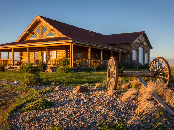
Flat Land Properties
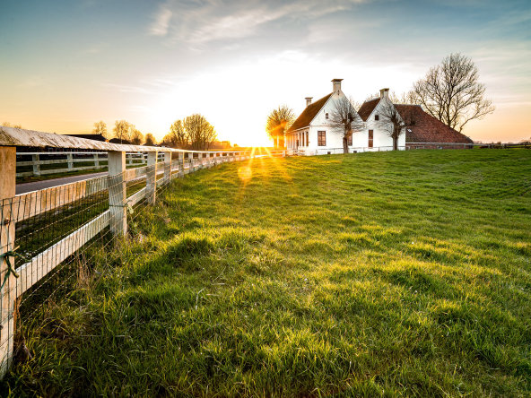
A flat property will generally be easiest to work with, with minimal work needed to establish road access and a suitable building location. Even on a flat parcel, pay attention to the slope that exists, and take note of any low lying areas that are likely to collect water or flood from heavy rain or snowmelt.
A flat parcel provides little privacy, unless wooded. Similarly, the views of the immediate area are likely to be unimpressive. On the positive side, flat ground is very usable for a multitude of purposes, and ideal for livestock, gardening, and other activities.
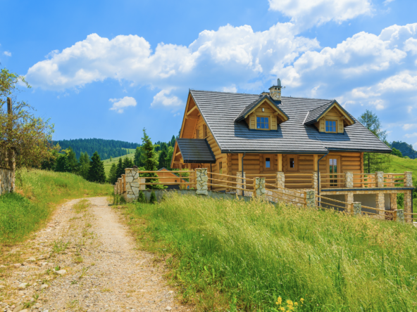
Hillside and Ridgetop Retreats
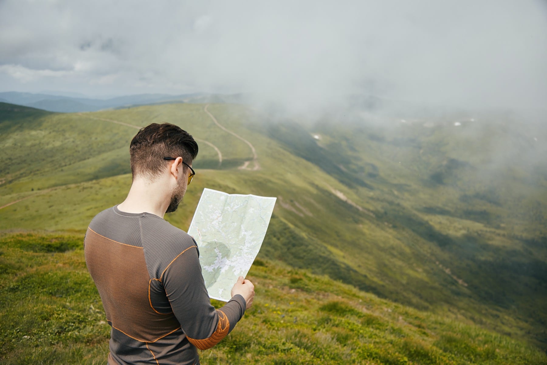
A sloped parcel will require more work, depending on how steep it is. Ideally, the slope will be gentle enough to allow unencumbered walking or driving directly uphill or downhill. In the case of steeper slopes, one or more switchbacks may be needed to reduce the grade of a path or driveway.
In the northern hemisphere, a slope with a northern aspect, i.e. “north facing” or “northern exposure” will generally be more shaded, cooler, and retain more moisture. Hence vegetation will be noted to be heavier on northern slopes. In contrast, southern slopes tend to be warmer, drier, and sunnier. If water is available for irrigation, they are more favorable for most crops.
A sloping parcel is likely to provide favorable views of the lower land, but may also make the home and grounds more visible from above or below.
A particular subset of sloped land is hilltop and ridge-top parcels. These gain the advantage of views in multiple direction, but may be more exposed to wind and lack privacy. A hilltop or ridgetop home may be visible for miles around. A greater level of privacy can be obtained by setting the home just below the top, so that the natural profile is retained.
Retreats in Varied Terrain
Especially in areas of heavily rolling hills, it’s possible to find a parcel set in a natural hollow or cove. This situation provides a great deal of privacy, but care should be made to ensure that it is not excessively shaded during winter months.
A bench or shallow hanging valley can provide an excellent location. A moderately steep slope presents a natural barrier to approach from below, and screens the area from view. Yet above, a sufficiently wide flat and open space may exist for a residence, agricultural pursuits, and other improvements. This can provide an excellent situation offering both a combination of privacy, views, and usability.
Common in mountainous areas, valley and canyon parcels can be attractive, but the topography needs to be considered attentively. If the homesite is down in the bottomland, ensure that it’s not so low-lying that it would be subject to flooding risk. In some narrow river valleys, there may be very little usable land between the access road, hillside, and waterway. In contrast, if the majority of the property lies above the valley floor, the slope and access may be problematic.
Finally, you may find a property naturally divided by its topography–either by a waterway, ridgeline, or other feature. To avoid excessive costs in site development, aim to work around these features as much as possible. One advantage offered may be that a stream or other feature provides a natural barrier along one or more sides of the property.
Topography Tools
With all these considerations, how should you make sense of a property listing? Ideally, every land listing would include good pictures and aerial imagery of the property, showing the topography in full relief. Unfortunately this isn’t often the case.
The fastest route is to enter the property address or coordinates directly into Google Maps, Google Earth, or your preferred mapping service. “Shift-click” to utilize 3D view, and view the location from all angles.
If the county government for your property maintains a web-accessible GIS system, you may have great topographic tools immediately available. Search for the property by address, parcel number, or tax ID number, and then explore the layers available. Many GIS systems include not only a road map and satellite imagery, but contour map and waterway layers, providing additional information.
Most directly, talk to your local real estate agent. Most agents working with rural property have access to a range of tools, such as MapRight, allowing great insight into local land features. The use of the many tools available can help you decide whether to pursue a property, allow you to focus on the best candidates, and pre-view potential properties from a distance.